GuidesDalmagodo Trail and walking
How many km is Haenam's Dalmagodo Trail, and where else can I walk?
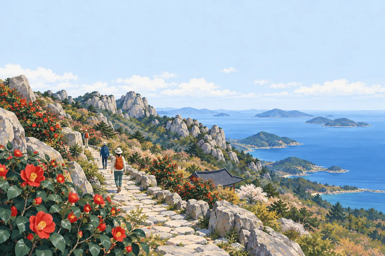
Dalmagodo Trail is a 17.74 km loop trail that starts at Mihwangsa Temple and circles Dalmasan Mountain.
It is divided into 4 courses: Chulga Trail 2.71 km, Suhaeng Trail 4.37 km, Gohaeng Trail 5.63 km, and Haetal Trail 5.03 km. It is open at all times and free to use. On Dalmasan Mountain, the round-trip hiking route takes 3 hours. The traverse route from the entrance of Songchon Village to the Mibong-ri Spring parking lot takes 7 hours. Haenam County Culture and Tourism lists 8 hiking and walking trails, including Ttangkkeut Trail Courses 1–4 (Ttangkkeut Sea Trail, Jeomjae Trail, Mukdong Shore Trail and Soenojae Trail). On Duryunsan Mountain, the 5.4 km round trip from Osojae Rest Area to Garyeonbong Peak (703 m) takes about 2 hours.
The 8 places in this guideFull list

- Hours
- Always open
- Closed days
- Open all year round

- Hours
- Always open
- Closed days
- Open all year round

Not listed: Hours·Closed days·Fee

- Closed days
- Open all year round
- Fee
- Free
- Hours
- Always open
- Closed days
- Open all year round

- Hours
- Always open
- Closed days
- Open all year round

- Hours
- Always open more

- Hours
- Always open
- Closed days
- Open all year round
Photos: · KOGL Type 1, KOGL Type 3 (no changes allowed)
Dalmagodo Trail is 17.74 km and circles Dalmasan Mountain in 4 courses from Mihwangsa Temple
- Dalmagodo Trail is a 17.74 km circuit trail that starts at Mihwangsa Temple and goes around Dalmasan Mountain past Keunbaramjae Pass, Nojiranggol and Molgorijae Pass. It opened in November 2017, reviving the pilgrimage path that once linked the 12 old hermitages of Mihwangsa Temple.
- The path was made by hand with sickles, pickaxes and A-frame carriers, without machinery, and it was built mainly as dirt and stone paths with fewer decks and stairs.
- Course 1, Chulga Trail (2.71 km), runs from Mihwangsa Temple to Keunbaramjae Pass through a mountain wetland, a rocky scree area and an oak forest.
- Course 2, Suhaeng Trail (4.37 km), runs from Keunbaramjae Pass to Nojiranggol past the Small and Large Geumsaem springs.
- Course 3, Gohaeng Trail (5.63 km), runs from Nojiranggol past Molgorijae Pass to Ingil.
- Course 4, Haetal Trail (5.03 km), passes a hinoki cypress forest, a tulip tree plantation, Dosoram Hermitage and the stupa site of Mihwangsa Temple before returning to Mihwangsa Temple, and this section overlaps the Ttangkkeut Millennium Forest Old Road. It is open at all times every day of the year and free to use, and the contact is the Tourism Office, Haenam County Office (061-530-5159).
- Dalmagodo TrailHours Always open
- Dalmasan Mountain
- Mihwangsa TempleHours Always open
- Dosoram HermitageHours Always open
Hiking Dalmasan Mountain takes 3 hours round trip and 7 hours on the traverse
- Dalmasan Mountain is a 489 m mountain spanning Songji-myeon, Bukpyeong-myeon and Hyeonsan-myeon, and there are 4 main hiking routes.
- The loop route for beginners and visitors to Mihwangsa Temple takes 3 hours, and there are also routes from Mihwangsa Temple to the Mibong-ri Spring and from Songchon Village down to Mihwangsa Temple.
- The traverse route starts at the entrance of Songchon Village and runs along a forest road and past Sujeong Cave and Seokmun Cave to the Mibong-ri Spring parking lot, taking 7 hours. It takes about 1 hour from Mihwangsa Temple to the summit, and the stupa field of Mihwangsa Temple is about a 10-minute walk along a forest path.
- Dosoram Hermitage is a hermitage on Dosolbong Peak at the top of Dalmasan Mountain, 3.4 km from Mihwangsa Temple in a straight line, and Korean azaleas (in April), royal azaleas (in May) and daylilies (in June) bloom there.
- Dalmasan Mountain
- Mihwangsa TempleHours Always open
- Dosoram HermitageHours Always open
Walking trails at Ttangkkeut: 8 hiking and walking trails, including Ttangkkeut Trail Courses 1–4
- Haenam County Culture and Tourism lists 8 hiking and walking trails.
- The Ttangkkeut Trail is divided into Ttangkkeut Sea Trail (Course 1; 42 Ttangkkeunmaeul-gil and others, Songji-myeon) and Jeomjae Trail (Course 2; 2726 Ttangkkeuthaean-ro and others, Songji-myeon). It also has Mukdong Shore Trail (Course 3; Mukdong-ri Senior Center, 7 Mukdong-gil, Bukpyeong-myeon) and Soenojae Trail (Course 4; 531 Baekdo-ro and others, Bukpyeong-myeon).
- The address of Slow Walk of Self-Reflection (a cultural and ecological trail), the National Pilgrimage Trail and the Korea Trail from Haenam to Seoul (formerly Samnam-gil) is also listed as 42 Ttangkkeunmaeul-gil and others or its surroundings, Songji-myeon.
- Ganggangsullae Trail (Green Trail) is at 12 Gwangwangnejeo-ro and others, Munnae-myeon.
- For inquiries, contact Haenam County Tourist Information (061-532-1330).
- The Tourism Development Team of the Tourism Office (061-530-5329) also takes questions about the Ttangkkeut Trail courses.
- In Ttangkkeut Village, the Ttangkkeut Trail (about 17 km), one of the 3 courses of the Ttangkkeut Millennium Forest Old Road, starts and continues to the Mihwangsa Temple History Trail and the Dasan–Choui Exchange Trail.
- You can also walk from Songho Beach to Ttangkkeut Tower on the Ttangkkeut Trail walking path.
- Ttangkkeut VillageHours Always open
- Mihwangsa TempleHours Always open
On Duryunsan Mountain, the round trip from Osojae Rest Area to Garyeonbong Peak (703 m) is 5.4 km and takes about 2 hours
- Osojae Rest Area is the northern trailhead for hiking Duryunsan Mountain and Jujaksan Mountain, with a mineral spring and a parking lot.
- The 5.4 km round trip via Osimjae Pass and Noseungbong Peak to Garyeonbong Peak (703 m), the top of Duryunsan Mountain, is the shortest route to the summit and takes about 2 hours.
- In Duryunsan Provincial Park, 8 peaks, including Garyeonbong Peak, Duryunbong Peak, Gogyebong Peak and Noseungbong Peak, form a ridge.
- The park is open at all times, but you should take care entering the mountain from 2 hours before sunset.
- For a seaside walk, there is Yeongam-Geumho Seawall (4.3 km long), which Course 15 of the Seohaerang Trail passes along.
- From the top of the dike, you see the sea on one side and Yeongamho Lake on the other.
- Osojae Rest AreaFee Free
- Duryunsan Provincial ParkHours Always open
- Yeongam-Geumho SeawallHours Always open
The bike route 'Course 1 Dalmagodo Trail' starts at Songho Beach and takes 6 hours
Course 1 of Haenam County Culture and Tourism's bike routes is Dalmagodo Trail. It starts at Songho Beach and passes Ttangkkeut Village, Sagumi Beach, Yundosan Forest Road, Seoho Village, Keunbaramjae Pass, Mihwangsa Temple, Maryeon and Songho Forest Road before returning to Songho Beach. It takes 6 hours. Its starting point differs from that of the walking Dalmagodo Trail (17.74 km), which starts at Mihwangsa Temple.
- Dalmagodo TrailHours Always open
- Ttangkkeut VillageHours Always open
- Mihwangsa TempleHours Always open
The 8 places in this guide
-
1
A 17.74 km loop trail that starts at Mihwangsa Temple and circles Dalmasan Mountain. It opened in November 2017 and is divided into 4 courses: Chulga Trail (2.71 km), Suhaeng Trail (4.37 km), Gohaeng Trail (5.63 km), and Haetal Trail (5.03 km). It is open at all times every day of the year and free to use, and the contact is the Tourism Office, Haenam County Office (061-530-5159).
- Hours
- Always open
- Closed days
- Open all year round
- Fee
- Free

-
2
A temple founded in 749 on the western foot of Dalmasan Mountain, where Dalmagodo Trail starts, with the Main Buddha Hall and the Hall of Arhats, both Treasures. It is open at all times, every day of the year, with no admission fee and with parking, and it takes about 1 hour from here to the summit of Dalmasan Mountain.
- Hours
- Always open
- Closed days
- Open all year round
- Fee
- Free

-
3
The only rebuilt hermitage among the 12 hermitages of Dalmasan Mountain. It is on Dosolbong Peak at the top of Dalmasan Mountain, and Course 4 of Dalmagodo Trail, Haetal Trail, passes it. It burned down during the Jeongyu War and was restored in 2002. It is open at all times and free, and parking is available. It is 3.4 km from Mihwangsa Temple in a straight line.
- Hours
- Always open
- Closed days
- Open all year round
- Fee
- Free
-
4
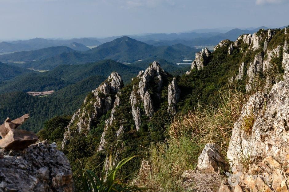
A mountain at the end of the Honam Jeongmaek ridge, spanning Songji-myeon, Bukpyeong-myeon and Hyeonsan-myeon, with 4 hiking routes. The loop route takes 3 hours, and the traverse route takes 7 hours. Parking is available, and the contact number is listed as 061-530-5229 in the Korea Tourism Organization TourAPI and as 061-530-5427, the Forest Protection Team of the Forestry and Green Space Division, in Haenam County Culture and Tourism.
- Hours
- Not listed
- Closed days
- Not listed
- Fee
- Not listed

-
5
The village where the Ttangkkeut Trail (about 17 km), one of the 3 courses of the Ttangkkeut Millennium Forest Old Road, starts. The Ttangkkeut Trail continues to the Mihwangsa Temple History Trail and the Dasan–Choui Exchange Trail. It is open at all times every day of the year, use is free, parking is available, and the tourist information center number is 061-532-3883.
- Hours
- Always open
- Closed days
- Open all year round
- Fee
- Free

-
6
The northern trailhead for hiking Duryunsan Mountain and Jujaksan Mountain, with a mineral spring and a parking lot together. The 5.4 km round trip via Osimjae Pass and Noseungbong Peak to Garyeonbong Peak (703 m) is the shortest route to the top of Duryunsan Mountain and takes about 2 hours. It is open every day of the year, and use is free.
- Hours
- Not listed
- Closed days
- Open all year round
- Fee
- Free

-
7
A provincial park where 8 peaks, including Garyeonbong Peak, Duryunbong Peak, Gogyebong Peak and Noseungbong Peak, form a ridge. It is open at all times, but you should take care entering the mountain from 2 hours before sunset, and parking is available. The contact number is listed as 061-530-5957 in Korea Tourism Organization TourAPI and as the Duryunsan Team, Tourism Office, 061-530-5958 in Haenam County Culture and Tourism.
- Hours
- Always open more
- Closed days
- Not listed
- Fee
- Not listed

-
8
A 4.3 km seawall completed in 1996. Course 15 of the Seohaerang Trail passes along it, and from the top of the dike, you see the sea on one side and Yeongamho Lake on the other. It is open at all times every day of the year, use is free, and parking is available.
- Hours
- Always open
- Closed days
- Open all year round
- Fee
- Free

Photos: Korea Tourism Organization · KOGL Type 1, KOGL Type 3 (no changes allowed)
FAQ
How many courses is the Ttangkkeut Trail divided into?
Haenam County Culture and Tourism lists Ttangkkeut Sea Trail (Course 1), Jeomjae Trail (Course 2), Mukdong Shore Trail (Course 3), and Soenojae Trail (Course 4) as Courses 1–4 of the Ttangkkeut Trail. Ttangkkeut Sea Trail and Jeomjae Trail are in Songji-myeon, and Mukdong Shore Trail and Soenojae Trail are in Bukpyeong-myeon. For inquiries, contact the Tourism Development Team, Tourism Office, Haenam County (061-530-5329) or Tourist Information (061-532-1330). source 1
How is Dalmagodo Trail different from the Dalmasan Mountain hiking routes?
Dalmagodo Trail is a 17.74 km path that starts at Mihwangsa Temple and goes around Dalmasan Mountain, divided into 4 courses. Dalmasan Mountain has 4 hiking routes. The round-trip route takes 3 hours, and the traverse route from the entrance of Songchon Village to the Mibong-ri Spring parking lot takes 7 hours. source 2
Do walking trails in Haenam charge admission?
Dalmagodo Trail, Osojae Rest Area, and Yeongam-Geumho Seawall are free to use. Mihwangsa Temple, where Dalmagodo Trail starts, and Dosoram Hermitage, which Course 4 Haetal Trail passes, also have no admission fee. source 2
1Haenam County Culture and Tourism2Korea Tourism Organization TourAPI